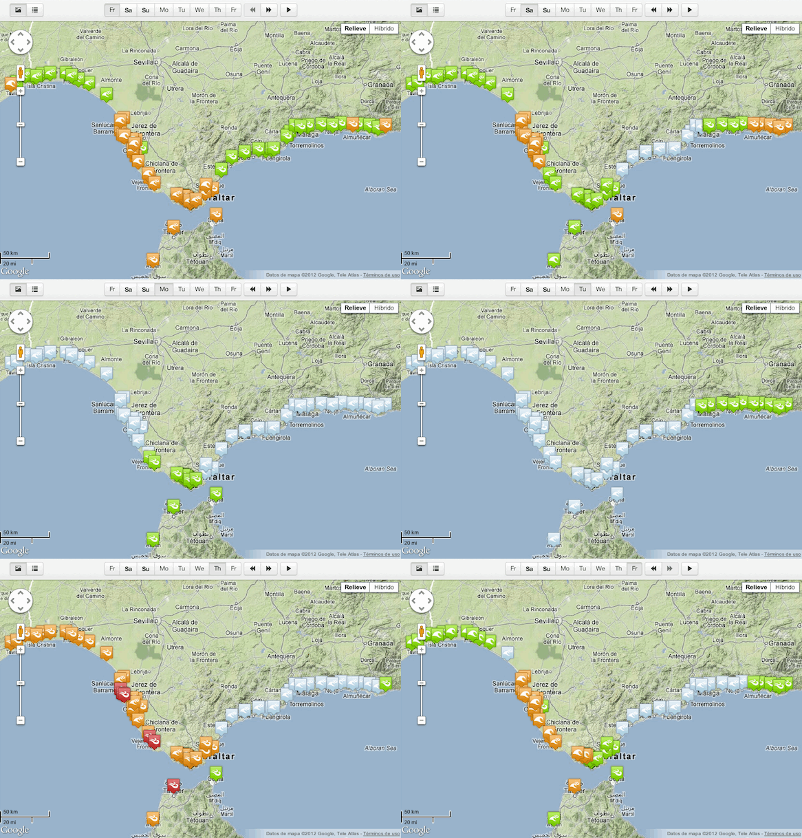
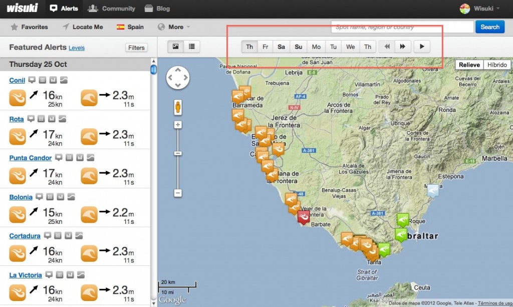
Now, all wind and waves alerts maps can be animated. Remember, an alert is the daily maximum wind and/or waves conditions, so when animating a map for a certain area, you’ll get instantly where, when and what are the best conditions for spots in that area.
Alert maps can be animated step by step (clicking the forward or backward buttons), or automatically (clicking the play button). Each animation frame corresponds to one day. While map animation is running, conditions details are updated in the alerts ticker (left column) for spots with best conditions for that area, for that day.
Here you have some examples.
Spots in a country:
http://wisuki.com/country/ie/ireland#play
Spots in a region:
http://wisuki.com/region/261/cadiz#play
Spots in any geocode location:
http://wisuki.com/?q=sidney#play


Pedro Riera Sardá
Wouldn’t be great to get custom forecast email notifications?